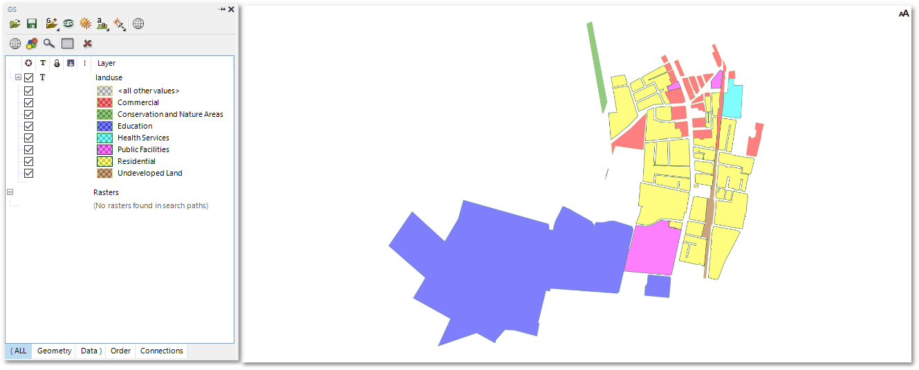
The land use polygons can also be coloured in (i.e. colour rendered) according to the values of a certain specified attribute field (such as e.g. LAND_USE) in the layer database.
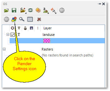
•To change the rendering of the shapefile, click the Render Settings icon (please note, the layer must be selected in the GIS Layer Manager box as shown below, before clicking on the Render Settings icon):
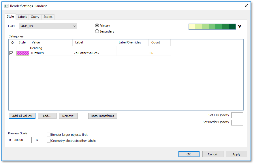
•The following Render Settings box will appear. As you can see, the attribute Field is already correctly set to LAND_USE. Click now on the Add All Values button:
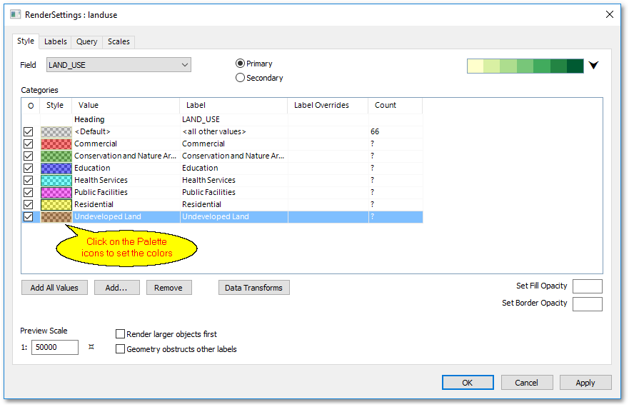
•The category values will hereby automatically be updated with all possible LAND_USE field values that are contained in the shapefile attribute table. The colours for the various categories can be set to the colours shown here below, by simply clicking on the colour palette icons. A Pick Style box will then appear (as for shapefile style editing) where the colours can be set.
•Finally, click the OK button in the Render Settings box to update the polygon shapes with the new render settings: