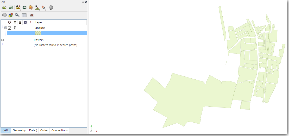
We will now load in an ArcView shapefile containing land use polygons.
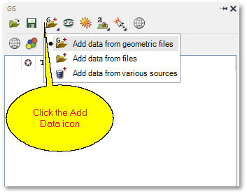
•Click the ![]() Add Data icon and then select the Add data from geometric files pop-up menu item:
Add Data icon and then select the Add data from geometric files pop-up menu item:
•From the ensuing file dialog box, browse to your user folder ...\Documents\GLS\Albion and then select the file landuse.shp to open. When loaded successfully, the screen should look like this (also note that the GIS Layer Manager box now contains the landuse GIS layer):